01 / Expertise
Land & Environmental Intelligence
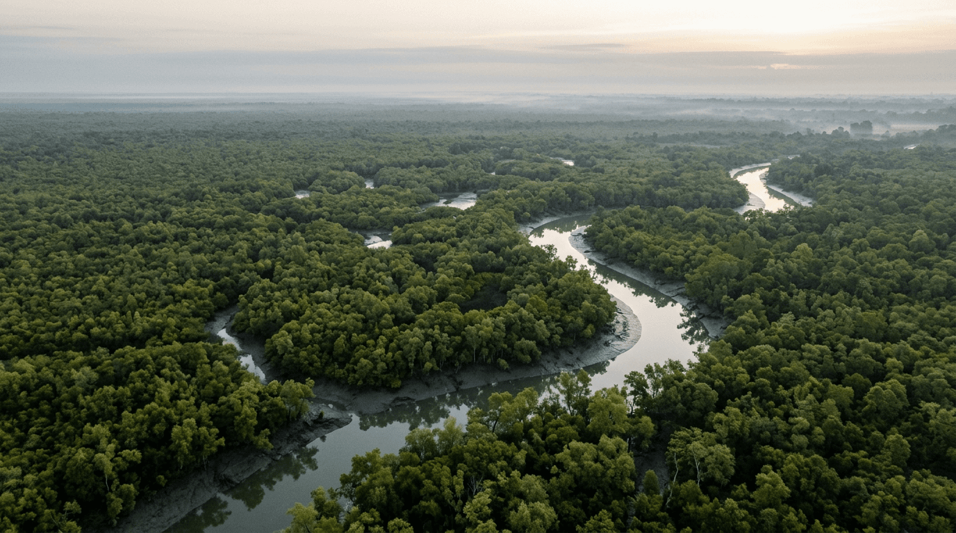
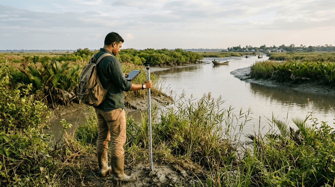
Sound environmental decisions begin with a reliable understanding of the landscape. We support programmes that connect satellite observations, geospatial analysis and field validation.
- Land cover and land use mapping programmes
- Forest and biomass assessment initiatives
- Carbon baseline development
- Environmental monitoring frameworks
- GIS integration and decision support tools
- Digital monitoring, reporting and verification planning
A stronger evidence base for planning and monitoring.